Black Mountain, Missouri: Lagom’s First Bushwhack

The perfect hiking day finally arrived! Due to pure laziness, I haven’t been on the trails much lately, but I knew today could not pass without some outdoor adventure.
I turned to my trusty “All Trails” app for some inspiration and was greeted with a trail that I’d never noticed on there before, “Black Mountain.” It was advertised as a moderate 5.1 mile loop, featuring waterfalls/cascades and one of the best views in Missouri. However, there was only one review with very little information.
Thankfully, all my “friends” on Facebook shared some resources and personal insight on the trail. The number one concern was that there actually wasn’t a real trail! If we decided to take this on, we would have to “bushwhack” to the top. Yikes!!!
We’ve never bushwhacked before, and to be honest, the thought of it made me nervous. However, a friend shared an article from the Southeast Missourian that described how to reach Black Mountain, including a map that pinpointed landmarks to watch for along the way. With that map and the map from All Trails, Mom and I decided to give it a shot. Upon research, we knew this was probably going to be the perfect day to go because of the recent rain and we knew these were “wet weather” falls and cascades.
Located along the St. Francois River, on Highway E in Madison County, you can’t hardly miss the falls right along the road. There’s a small pull off next to the falls, making the lower falls accessible to everybody. The lower falls were beautiful, but we knew that wasn’t our final destination.
To get to Black Mountain we knew our next checkpoint was the Upper Falls section. We were going to have to rock scramble up the side of the falls for quite a distance until we reached the top. This was the most difficult section of our journey.Climbing up the left side of the falls, we were faced with a lot of sharp, slippery rocks that could be very treacherous if one took a wrong step or moved too quickly. Mom didn’t even get 10 steps up when she slid and banged her leg up pretty good. Moving at a snail’s pace, (which sometimes isn’t much slower than our normal pace), we slowly worked our way to the falls.
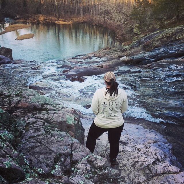
When we finally reached the Upper Falls, we were greeted with two streams of water rushing down a slick glade, coming together at the bottom to continue its journey down the mountain. It was a great spot to sit and take a break and just enjoy the scenery. Word of caution: I could see someone getting really hurt messing around on the rocks near the falls. We were very careful because we slipped several times on the smooth granite in this area. It crossed my mind to end our day here, but the thought of going back down all those rocks didn’t sound appetizing, and we made it this far, I still wanted to make it to the top of Black Mountain.

Next, our research told us to continue following the creek until we came across an old log road that would cross our path. Continuing our zig zag pattern up the creek, we found the log road easy enough. At this point, you will want to turn and follow the log road to the left.
The log road gradually made its way up the mountain. It’s an easy enough walk with the major rocks behind us and not too terrible of an incline. Our next point of reference we were looking for was another log road that would lead us to the Black Mountain on the north side of the trail.
As we continued walking, I kept referencing the map from All Trails:

As you can see, this map shows two trails they made to get up and down Black Mountain. I kept looking for the log road and we never saw anything that we would comfortably consider leaving our current path. The first path came and went on the map and I made the comment that Black Mountain may have just won this round since we couldn’t find the second road.
We knew the current road would take us all the way back to E Highway so we just kept walking, with a little bit of a feeling of defeat, to be honest. However, as we came upon the “second path” from the All Trails map, we discovered what had to be the log road we were looking for!
I’d read the next leg of this journey to Black Mountain was a tough one, with some significant elevation gains in a short distance. We considered skipping Black Mountain, but dang it!…we’d already made it this far!!…so up towards the peak we went.
The incline was tough, I’m not going to lie. My out of shape body was feeling it for sure and I had to make several stops. One foot in front of the other, we kept onwards and upwards though.
I’d read that the log road would end and then we would be on our own to cover the rest of the distance to the view we’d been anticipating. End it did! Rather abruptly with a tree laying across the end of the road. There’s also a “wildlife pond” at this juncture of the trail that you can use for reference.
At this point all I had for guidance was the All Trails map. So we bushwhacked our way up the mountain. We just marched practically straight up the mountain. We had to do a little more rock scrambling as the terrain was made more difficult with an abundance of downed leaves hiding many ankle breakers.
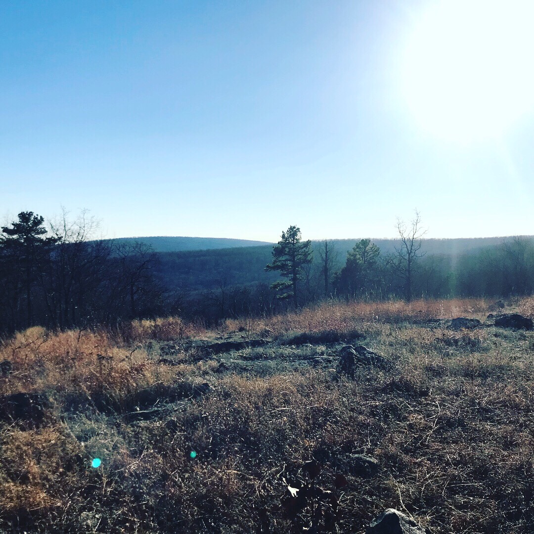
Finally, we made it to the top. There was a nice glade with some taller rocks to stand that gave you the best view of the neighboring mountain tops. You could see several peaks for quite a distance a way. Was it one of the top views in Missouri??? It wasn’t bad, but it still didn’t compare to Buford. Also, if you hike this area in the summer, the views would probably be restricted considerably by the leaves on the trees. So our timing couldn’t have been more perfect.

After taking in the views, we headed back down the mountain and located the log road. Connecting the second log road to the original log road we kept walking, hoping eventually the road would take us back to the highway.
The rest of the trek on the load road was a nice easy walk until the very end. Right before reaching the highway, the log road’s decline becomes very steep and the small rocks more prevalent. We could feel it in our toes and ankles for sure.
Finally, however, we found the highway! Normally, I would probably avoid walking on the road as part of my hike. But the only other option would have been to back track and come DOWN the falls!! Instead we hung a left at the highway and started the walk back to our vehicle. We were probably about a mile and half away from the vehicle, but at that point, it sure felt a lot longer!
As we approached the vehicle, I had that feeling of accomplishment and contentment that I had been missing for several months now. The trail was not easy and I would have even considered it difficult up the falls section. Even though there is no marked trail, following the landmarks mentioned, it was a pretty easy “bushwhack.”
I would recommend this hike in the winter or early spring for sure. Pay attention to the rains, to make sure you get to see the falls in their full glory.
As I mentioned, an article from the Southeast Missourian was my most helpful point of reference. Check it out here to get access to a nice map with the reference points marked.Edit: I’ve been informed that if you head south (left) of the wilderness pond you get an even better view.
Bonus material: After our hike we headed back into Fredericktown for food. My mom hadn’t had the pleasure of eating at The Depot Cafe, so that’s where we headed. I’ve mentioned them before in other posts, but today I want to recommend the Open-Face Cajun Meatloaf….OMG!! It was delicious!! Try it!!


